People often ask one question and accidentally use the wrong metric to answer it.
They ask how far two cities are, but then compare:
- straight-line distance
- driving distance
- scheduled flight time
Those are related, but they are not interchangeable.
Flight distance: the shortest surface route
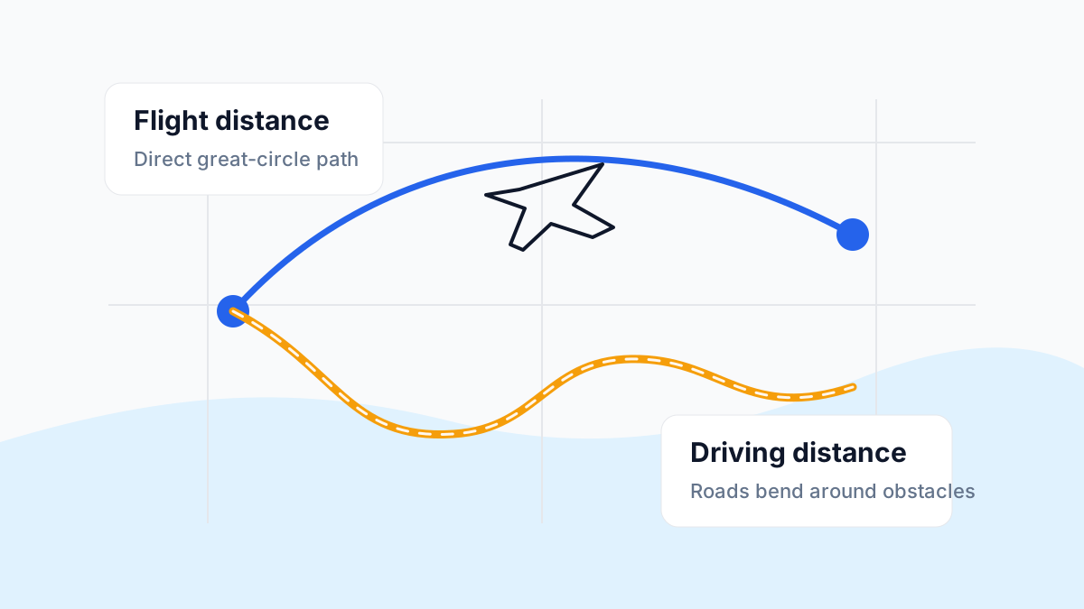
When CityDistance reports the distance between cities, it uses great-circle distance. That is the shortest path over the Earth’s surface between two points.
This is the best metric for:
- geography games
- comparing global city scale
- aviation-style route intuition
- triangulation and radius tools
It is not the same as what a road trip or airline schedule will show, but it is the cleanest geographic baseline.
Driving distance: constrained by roads
Driving distance answers a different question: how far must a vehicle actually travel using the road network?
That number depends on:
- coastlines
- bridges and tunnels
- mountain passes
- border crossings
- road layout
Two cities may be 300 km apart in a straight line but require a 430 km drive because a bay, mountain range, or lack of direct roads forces a detour.
Driving distance is best when you care about ground travel planning. It is a poor substitute for geographic comparison across countries or continents.
Flight time: distance plus operations
Flight time feels like a distance metric, but it includes much more than distance.
It can be affected by:
- departure and arrival procedures
- cruising speed
- air traffic routing
- prevailing winds
- aircraft type
A longer route can sometimes post a similar schedule to a shorter route if winds and airport operations differ. That is why flight time is helpful context, not a pure geographic measure.
Why the numbers disagree
Here is the key:
- straight-line distance measures geometry
- driving distance measures network constraints
- flight time measures operational reality
Each one is answering a different question, so disagreement is not an error.
Which one should you use?
Use straight-line or great-circle distance when you want:
- a fair comparison between cities
- route scale
- map and globe reasoning
- geography-game support
Use driving distance when you want:
- trip planning by car
- logistics by road
- realistic overland travel expectations
Use flight time when you want:
- approximate journey duration
- long-haul vs short-haul context
- travel framing for readers
A simple example
Imagine two cities separated by water.
Their great-circle distance may be modest because they are geographically close. Their driving distance may be much longer because roads must bend around the coastline or reach a ferry crossing. Their scheduled flight time may still be short because aircraft can travel directly.
All three numbers can be “correct” at the same time.
Why this matters in geography games
A lot of bad guesses come from mixing the wrong concepts.
If a game gives you a distance clue, it is almost never asking for driving distance. It is typically based on coordinates and great-circle geometry. That means your road-trip intuition can mislead you badly, especially near coasts and mountains.
If you want to compare real city pairs, use the distance calculator and look at how long routes change across oceans and high-latitude regions.
How to read CityDistance results
On CityDistance:
- distance values are for geographic comparison
- flight-time references are supporting context
- route and midpoint details help you understand the path
That makes the tool useful for both education and puzzle solving, as long as you remember what each number represents.
The bottom line
Do not ask one question and use another metric.
If you want to know how far apart cities really are on the globe, use great-circle distance. If you want to know how long the journey feels, look at flight time. If you want to know how far you will actually drive, use road distance.
Precision starts with choosing the right definition.