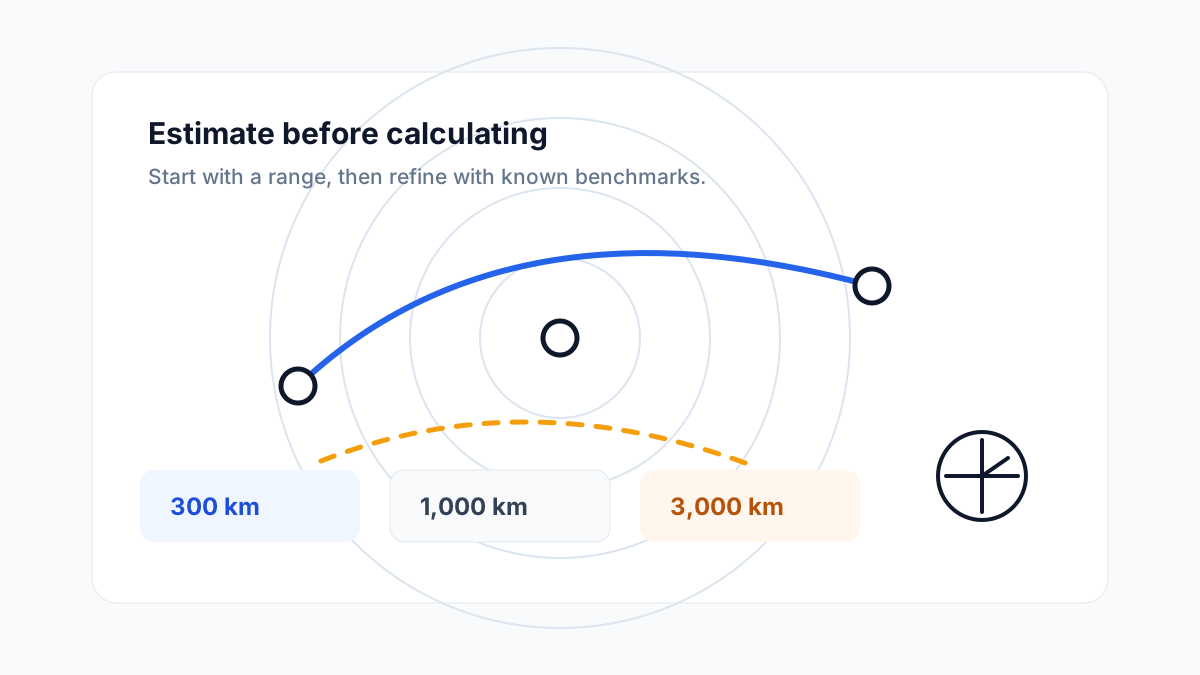
If you play geography games or compare travel routes often, you eventually want a fast mental model for distance. You do not always need a calculator to know whether two cities are roughly 300 km apart, 1,500 km apart, or on opposite sides of the planet.
This guide gives you a compact way to estimate city distance before you confirm it with a tool.
Start with the same-country or cross-border question
Your first filter is not math. It is regional context.
- Two cities in the same metro corridor are often under 100 km apart.
- Two large cities in the same country are often between 200 km and 1,500 km apart.
- Two cities in different parts of a continent are often between 1,000 km and 4,000 km apart.
- Intercontinental routes usually begin around 5,000 km and quickly rise above 8,000 km.
That sounds obvious, but it prevents the biggest mistake: treating every unfamiliar route as if it belongs to the same scale.
Use latitude before longitude
A simple geography rule helps more than most people expect:
- One degree of latitude is about 111 km anywhere on Earth.
That means if one city sits near 40° north and another sits near 50° north, the north-south part of the trip is already about 1,110 km.
Longitude is trickier because east-west distance shrinks as you move away from the equator. Near the equator, one degree of longitude is also about 111 km. Around 50° north, it is much less.
In practice:
- At tropical latitudes, east-west differences still add a lot of distance.
- At high northern latitudes, maps exaggerate width, so east-west routes may be shorter than they look.
This is one reason many players overestimate routes in northern Europe and Canada.
Build distance bands instead of exact guesses
Good estimators do not start with a single number. They start with a band.
For example:
- London to Paris: probably under 500 km
- New York to Chicago: probably around 1,000 to 1,500 km
- Dubai to Singapore: probably around 5,000 to 7,000 km
- Tokyo to London: probably around 9,000 to 11,000 km
Once you have a band, you can refine.
Compare with routes you already know
The fastest shortcut is a library of familiar distances:
- London to Paris is about 344 km
- New York to Los Angeles is about 3,944 km
- London to New York is about 5,567 km
- Paris to Tokyo is roughly long-haul intercontinental distance
When you meet a new route, ask: what known route does this resemble?
If a route looks longer than London to Paris but much shorter than London to Rome, your answer probably belongs in the high hundreds, not the low thousands.
Think in flight-time buckets
Flight time is not distance, but it is a useful check.
- About 1 hour in the air usually points to a few hundred kilometers
- About 2 to 4 hours often means short to medium continental distance
- About 6 to 8 hours suggests serious long-haul territory
- About 10 to 14 hours usually means intercontinental routes above several thousand kilometers
This works best when you already know whether the route is domestic, regional, or intercontinental.
Adjust for map distortion
A flat map encourages bad guesses.
Routes near the poles often look wider than they really are. Great-circle paths also curve on maps, which makes intuitive eyeballing harder. If a route passes through northern latitudes, reduce your confidence in a purely visual guess.
That is why great-circle distance matters so much for flight and geography tools.
A fast 3-step estimation method
Use this whenever you want a number in under ten seconds:
- Classify the route: local, national, continental, or intercontinental.
- Estimate the north-south difference first using latitude intuition.
- Adjust for east-west spread, then compare with one route you already know.
This gets you close enough to play better and reason faster.
When estimation is enough, and when it is not
Mental estimates are ideal for:
- geography games
- trivia
- quick travel comparisons
- sanity-checking guesses
But use an actual tool when you need:
- exact great-circle distance
- distance radius searches
- city triangulation from multiple clues
- shareable route results
You can verify your estimate with the distance calculator or test how good your intuition is in the distance quiz.
The real goal: better geographic intuition
The point is not to become a human spreadsheet. The point is to recognize scale quickly.
Once you can tell the difference between a 300 km route, a 1,200 km route, and a 9,000 km route, geography games become less random and much more strategic.